world.png
The basic geographic database of Songliao basin in northeast of China
/static/upload/99/992d86b2-3c61-11e8-a8a4-00163e0618d6_m.jpg

Release time:2015-02-08

Browsing times: 1301

Tag:

Data Abstract

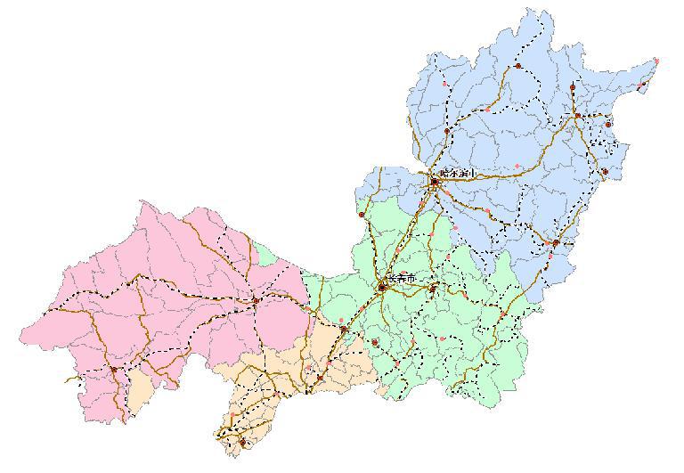
Based on the reconnaissance and analysis technology,the data set is made up of the reconnaissance and analysis results and the interpretation of remote sensing, and the spatial reference (projection and coordinate system) is Albers. The survey results images are derived and read in software ArcMap,using a variety of tools for a map, based on the scale of standard framing way of interpretation, the formation of vector data is formed into the file. Finally, the data is exported in the vector file.The data of administrative division,landscape, soil, vegetation , land use, traffic road and residential elevation were extracted from the file library to build the basic geographic database of Songliao basin.

Contributor
2017-11-10
Dataset Size
51200 kb
Purpose
Science research、teaching、governemntn policy-making
Data Extension
.shp
Production Unit
Northeast Institute of Geography and Agroecology, Chinese Academy of Sciences
Data Quality
This data is complete and reliable
Contributor Address
No. 4888 Sheng Bei street, hi-tech North District, Changchun, Jilin
Contributor Postcode
130102
Contributor Phone
0431-85542316
Contributor Email
bukun@osgeo.cn
Contributor Homepage
http://www.igsnrr.ac.cn
Responsible Name
WDC RRE Working Team
RespInst Name
Institute of Geographic Sciences and Natural Resources Research, CAS.
RespInst Address
11 A, Datun Road, Chaoyang District, Beijing, 100101, China.
RespInst Postcode
100101
RespInst Phone
+86-10-64889048-8006
RespInst Email
wdc-rre(at)lreis.ac.cn
RespInst Fax
+86-10-64889048
RespInst Homepage
http://english.igsnrr.cas.cn/


    Sign in for comments!
Comment list (0)

Information evaluation
Most attention
Recent articles
All rights reserved. © World Data Center for Renewable Resources and Environment, since 2014.