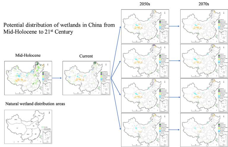

The wetland distribution dataset contains the observed and predicted wetland data in current, 21st century representative concentration pathway (RCP) emission scenarios (RCP2.6, 4.5, 6.0 and 8.5) and Middle holocene (about 6000 years ago) in geotiff format with 1km spatial resolution. The natural wetland distribution areas data is in Shapefile format.
The dataset could be referenced as:
ZhenshanXue, Yuanchun Zou, Zhongsheng Zhang, XianguoLyu, Ming Jiang, Haitao Wu, Xiaohui Liu, Shouzheng Tong, 2018. Reconstruction and Future Prediction of the Distribution of Wetlands in China. Earth's Future. https://doi.org/10.1029/2017EF000807