world.png
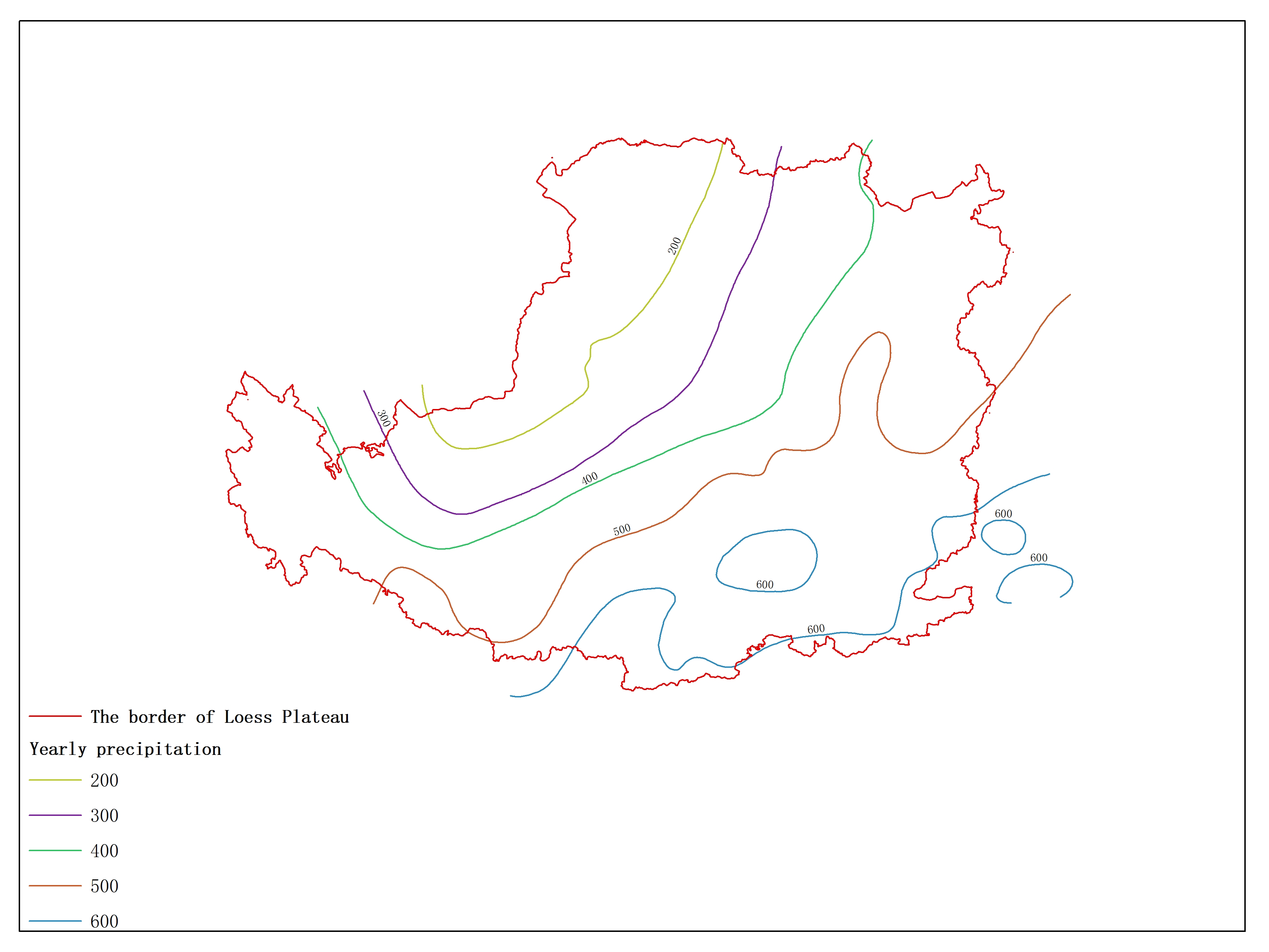
Agricultural climate resource atlas of Loess Plateau-Yearly precipitation
/static/xx_data_qv/5371.jpg

Release time:2016-10-09

Browsing times: 5327

Tag:

View Document

The data set is Highest yield per unit area of Summer maize with seperated irrigaton of Loess Plateau and the data format is a feature format. The data is processed by the Institute of Geographic Sciences and Natural Resources Research of the Chinese Academy of Sciences and can be used for scientific research, teaching, and government decision-making

Dataset Size
77.06 kb
Purpose
Scientific research in Loess Plateau
Data Extension
E00
Production Unit
Institute of Geographical Sciences and Natural Resources Research, CAS.
Supplement
Data entity doesn't contain the boundary. Please download it seperately if need (Dataset name: Boundary of agricultural resource atlas of Loess Plateau)
Data Quality
credible
Contributor Address
11A, Datun Road, Chaoyang District, Beijing, China
Contributor Postcode
100101
Contributor Phone
010-64889045
Contributor Email
lishuang@henu.edu.cn
Contributor Fax
010-64889266
Contributor Homepage
http://www.igsnrr.ac.cn
Responsible Name
WDC RRE Working Team
RespInst Name
Institute of Geographic Sciences and Natural Resources Research, CAS.
RespInst Address
11 A, Datun Road, Chaoyang District, Beijing, 100101, China.
RespInst Postcode
100101
RespInst Phone
+86-10-64889048-8006
RespInst Email
wdc-rre(at)lreis.ac.cn
RespInst Fax
+86-10-64889048
RespInst Homepage
http://english.igsnrr.cas.cn/


    Sign in for comments!
Comment list (0)

Information evaluation
Most attention
Recent articles
All rights reserved. © World Data Center for Renewable Resources and Environment, since 2014.