world.png
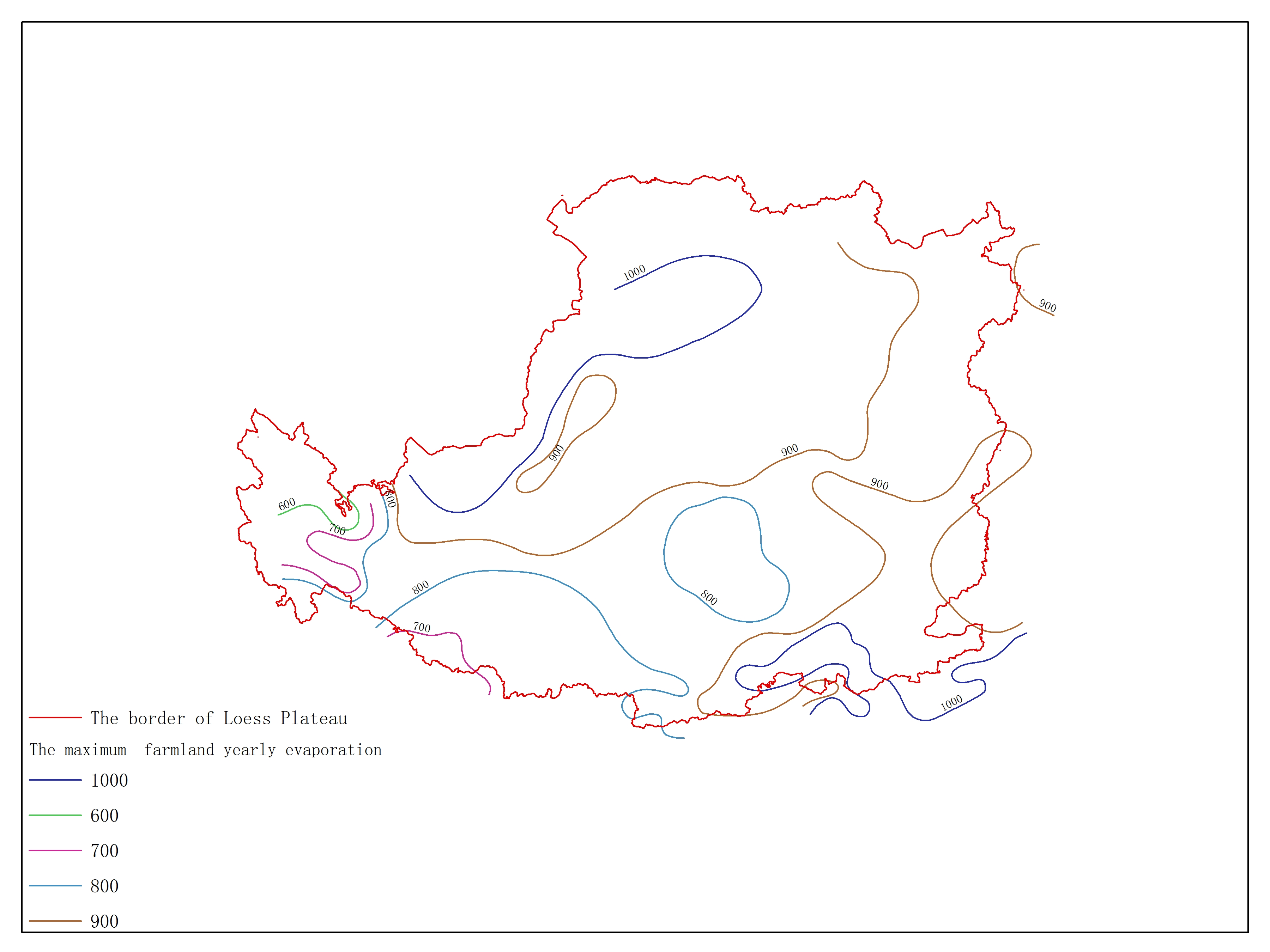
The maximum farmland yearly evaporation in the atlas about agricultural climate sources of the Loess plateau
/static/xx_data_qv/5142.jpg

Release time:2016-07-17

Browsing times: 933

Tag:

View Document

The data set is The maximum farmland yearly evaporation of Loess Plateau and the data format is a feature format. The data is processed by the Institute of Geographic Sciences and Natural Resources Research of the Chinese Academy of Sciences and can be used for scientific research, teaching, and government decision-making.

Dataset Size
44.49 kb
Purpose
Used for scientific research of the of Loess Plateau
Data Extension
E00
Production Unit
Institute of Geographical Sciences and Natural Resources Research Chinese Academy of Sciences
Supplement
Boundary isn't in the data body,if need,please download the atlas named Boundary of Agricultural Resource of the Loess Plateau.
Data Quality
credible
Contributor Address
No.11A,Datun Road Anwai,Beijing
Contributor Postcode
100101
Contributor Phone
010-64889048
Contributor Email
jossmail@126.com
Responsible Name
WDC RRE Working Team
RespInst Name
Institute of Geographic Sciences and Natural Resources Research, CAS.
RespInst Address
11 A, Datun Road, Chaoyang District, Beijing, 100101, China.
RespInst Postcode
100101
RespInst Phone
+86-10-64889048-8006
RespInst Email
wdc-rre(at)lreis.ac.cn
RespInst Fax
+86-10-64889048
RespInst Homepage
http://english.igsnrr.cas.cn/


    Sign in for comments!
Comment list (0)

Information evaluation
Most attention
Recent articles
All rights reserved. © World Data Center for Renewable Resources and Environment, since 2014.